Drone Services
Our Services
North Queensland Drone Services
Videography
Capture stunning aerial visuals for marketing, real estate, and commercial projects with unmatched precision and creativity.
Photogrammetry
Generate accurate 3D models, maps, and volume calculations for land care, construction, and asset management.
Drone Training
Build your skills with professional training courses tailored for beginners and advanced operators.

Drone Service
Photogrammetry
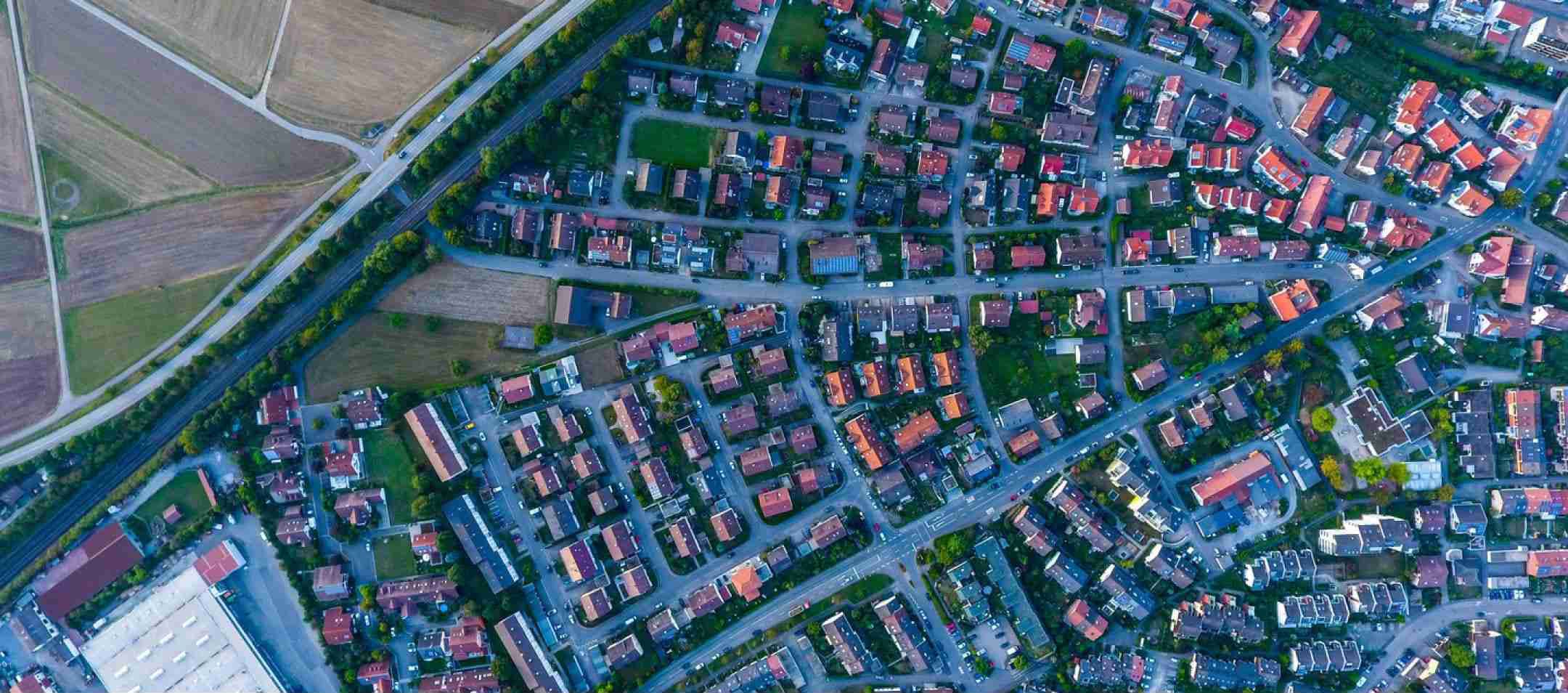
Our advanced photogrammetry services provide precise, high-quality 3D models, maps, and measurements. Using state-of-the-art drone technology, we capture accurate data for land surveys, construction projects, and asset management. Expect detailed, reliable results that help you make informed decisions with confidence.
Drone Service
3D Modelling
Our 3D modelling services use advanced drone technology to create highly accurate digital representations of your project or site. These models help with planning, analysis, and decision-making, providing a detailed and reliable view of the area from every angle.


Drone Service
Volume Calculations
Using advanced drone technology and photogrammetry, we provide precise volume calculations for a variety of applications, including stockpile measurement, excavation projects, and landfills. Our accurate data helps you track materials, plan operations, and manage resources efficiently.
Drone Service
Solar Farm & Roof Inspections
Our drone services offer efficient and accurate solar farm and roof inspections, providing high-resolution imagery and detailed assessments without the need for scaffolding or ladders. We detect potential issues such as damage, wear, or faulty panels, ensuring timely maintenance and optimal performance for your solar systems.


Drone Service
Tower & Power Line Inspections
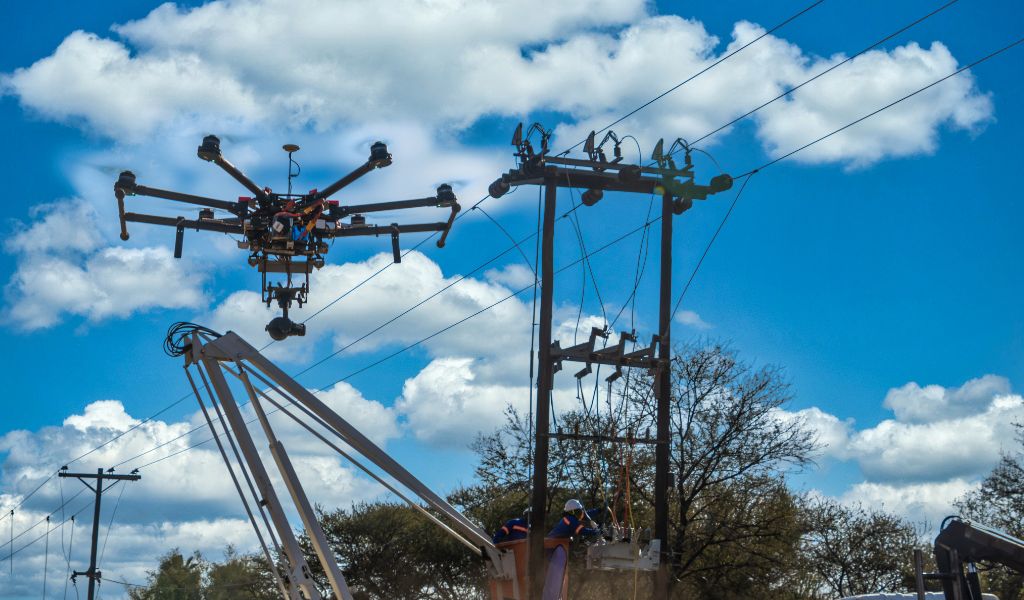
Efficient and detailed solar farm and roof inspections are made easy with our drone services. We deliver high-resolution imagery and thorough assessments, identifying damage or wear quickly, so you can maintain optimal performance and address issues before they become costly problems.
Drone Service
Land Care & Environmental Projects
Our drone services are perfect for land care and environmental monitoring, providing precise data for vegetation surveys, wildlife tracking, and habitat assessments. With high-resolution imagery and multispectral sensors, we help you manage natural resources, monitor environmental changes, and ensure sustainable land management practices.
